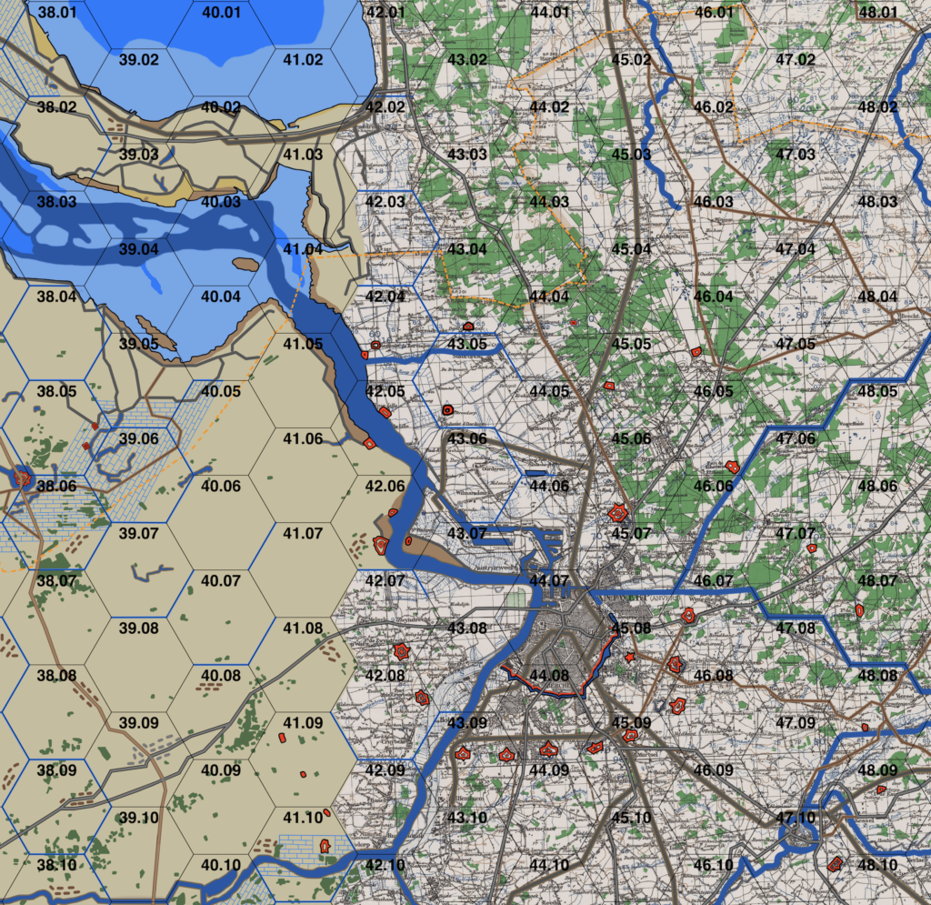
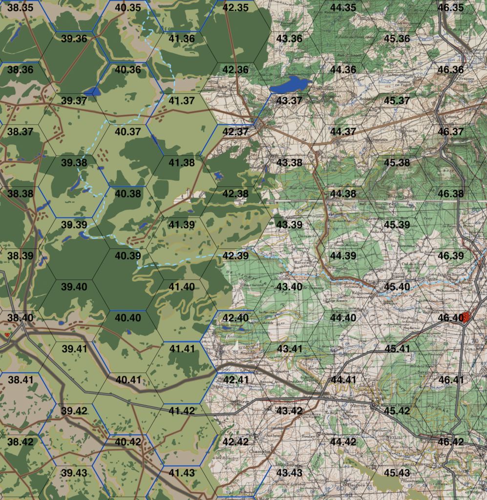
As previously reported, Paul and I are testing the boundaries of the TOCS system and methodology from a tactical, company-level WWII game to an operational, division/corps-level WWI game. While we have derived a set of rules, we need a map and some counters to push around in order to test them.
Paul has been working on a large map of Belgium with each hex covering 5000 yards, representing enough space for typical divisional frontage in that era. As with our WWII tactical maps, each hex contains three types of terrain to allow for greater movement and combat simulation.
The two screenshots below show Paul’s current progress.